For reaching the general objective, but also the specific ones, the provisions of articles 2 and 12 of law 206/2004, on the good conduct and ethical matters in research activities, will be upheld. We mention that our project proposal does not involve activities that are prohibited or limited by the legislation in force, concerning the protection of human subjects, animals or the environment.
With respect to the assignment of the activities, the dissemination of the project results or their capitalisation, the role and responsibilities of each of the partners are sensibly equal.
The six work packages were elaborated, naturally, in direct relation with the specific objectives set. Our project proposal commences with a section of documentation on the bibliographic and cartographic-topographic material (WP1), necessary for any such initiative perfectly justified by the novelty of the undertaking. The coordination of this stage will be the task of the coordinating institution (Co), and, based on the contribution of all the partners, it seeks to distribute the activities, to create a chronological-cultural framework of the application, the establish the case studies, to procure and process the map support, to structure the spatial database, or to conceive the web portal.
The second work package (WP2), under the management of the Iași Institute of Archaeology (P1), strictly meets the requirements of objective no 1. It concerns an extensive characterisation of the natural landscape that aims to capture the behaviour pattern of the prehistoric communities in certain environmental conditions. The activities will almost entirely be practical, for which reason we intend to involve B.A., M.A. and PhD students in our research, hopefully to spark their interest for such interdisciplinary approaches.
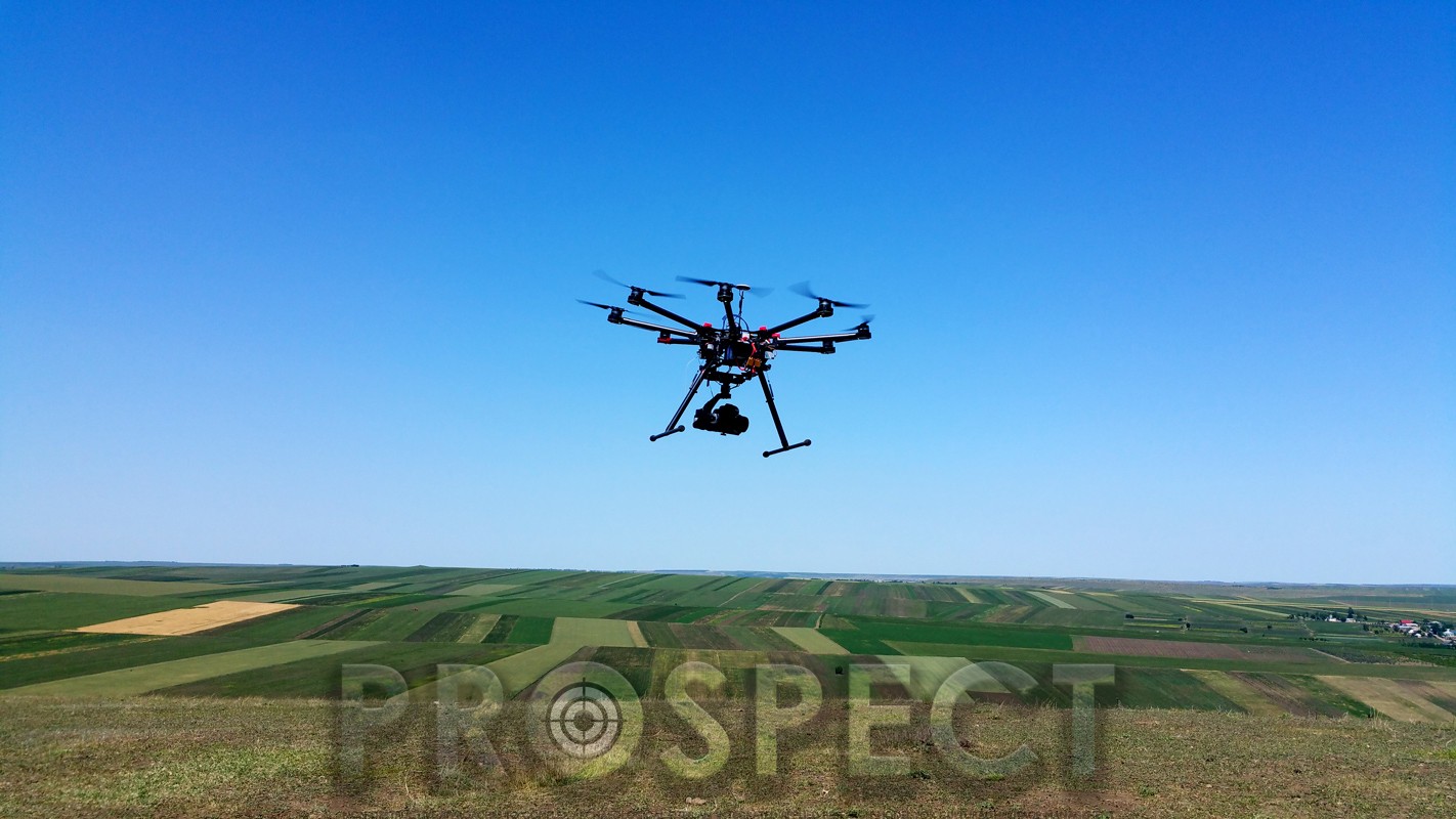
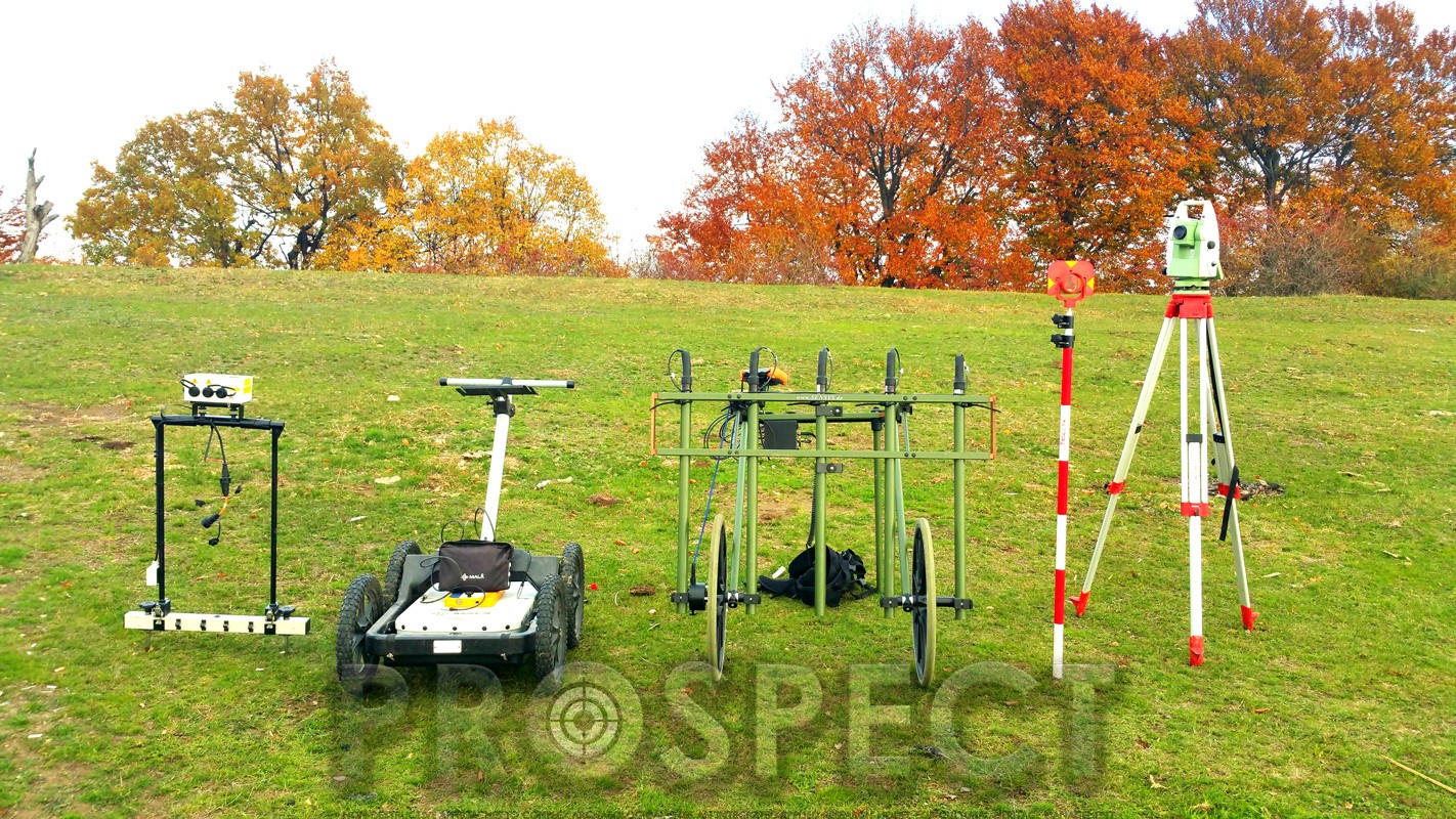
The use of geophysical techniques is found in the 3rd set of activities (WP3), and it corresponds with objective no 2, namely to discern the spatial occupation mechanism, both from within and from the immediate vicinity of the settlements. With the help of the contributions particularly from the coordinating institution and the private partner (P2), we aim to produce detailed maps of the underground structures and to produce definite interpretations of the cultural anomalies identified.
Work package no 4 (WP4) aims to identify, evaluate and monitor the risk factors that affect the archaeological sites investigated, and meets the requirements of the 3rd specific objective. The associated actions will be conducted and coordinated predominantly by the first partner (Co), though with the constant assistance of the other two partners. At the end of this phase, with the conjoint intervention of all the partners, we plan to produce risk maps and prognoses for the investigated prehistoric archaeological sites.
The main activities that define the 5th work package (WP5) are designed, on the one hand, to capitalise from the touristic point of view the prehistoric sites, particularly on the basis of the information provided by the use of the non-destructive techniques¸ and, on the other hand, to elaborate the experimental research model and to finish it as a functional and viable model for investigating prehistoric archaeological sites. In this stage, coordinated by partner no. 2, we intend to calibrate and integrate the data obtained by each partner.
The last set of activities (WP6) is represented by the dissemination of the results. For easily understandable reasons, we set two stages for disseminating the information obtained: an intermediary stage, with the preliminary results, and a final stage in which we will focus on the entire problematics. Likewise, the intermediary dissemination stage will feature round tables and workshops meant to intensify the collaboration between the members of the consortium and to come into contact with potential beneficiaries from the private sector, and at the same time to mitigate various problems that might appear as the project is implemented.
Bearing in mind the fact that any conscious process has a certain degree of incertitude that cannot be eliminated, in what concerns the risks associated with our proposal we can mention, considering the practical character of the endeavour, the meteorological factors as a main cause for any target date postponement or delayment. As the research is carried out, there exists the possibility that uncertainties could impinge on the good conduct of the study, a reason for which we intend to elaborate, at the onset of the project, a risk management plan that aims to identify/assess and find countermeasures for any such risk.
Methodological sequences